Cartography of the people's forests
In this project we worked with organizations from various indigenous and non-indigenous communities throughout Panama to support them in protecting their forests. In most cases we worked with rural water boards (known as JAARs), interested in protecting their water sources.
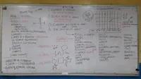
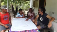
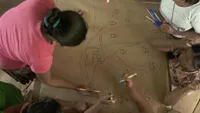
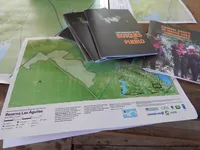
In each community we facilitated the formation of technical teams of people interested in mapping. Michelle Szejner, my colleague from Almanaque Azul and I developed a working methodology in which we began by giving a workshop on critical cartography. During the workshop we analyzed with the community teams maps that already existed of their territories. Who made them and why? What appears and what does not appear? For these workshops we used paper maps and also the Mapeo application by Awana Digital (formerly known as Digital Democracy).
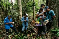
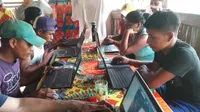
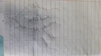
Then we would go out for a walk and talk about the forests, their threats and benefits. While walking in the bush and stopping to rest, we would think about what kind of maps we wanted to make and then continue working when we returned to the village. We made the maps over several days and several visits. All the data generated was immediately given to community team members on USB sticks each visit before departing.
The final phase of the project was interrupted by the pandemic, but we managed to deliver the final maps in 2021. We produced an illustrated publication as a final report documenting all the work that had been done. We delivered the maps in poster size on paper and larger on vinyl banners for schools and community centers.
Cartography of the People’s Forests was a project of the Ministry of Environment and the United Nations Development Program (UNDP) in partnership with the Small Grants Program (SGP) Panama and executed by the Almanaque Azul Foundation.
- For: Panamanian forest communities
- Almanaque Azul, 2018-2021
